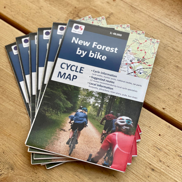
The New Forest by Bike map
Tax included
Shipping calculated at checkout
129 in stock
New Forest by Bike Description
This fully revised edition of our popular cycle map of the New Forest has been newly extended to cover the whole of the New Forest area, from Fordingbridge down to Christchurch in the west and from Southampton down to Lepe Country Park in the east.
Printed on an increased size sheet, at a large scale of 1: 40,000, and using clearly drawn, up to date mapping redrawn from Ordnance Survey cartography under licence, it features 12 suggested rides, all recommended and tested by local cycle hire operators and showcasing the very best of the New Forest.
Each ride is overlaid on the mapping and accompanied by a description including distance, difficulty, terrain and ideas for refreshment stops en-route. The majority of the routes follow enclosed forest trails or quiet lanes, suitable for families and leisure cyclists. We also include a few all-road routes for more experienced road cyclists looking for a longer ride.
We Say...
This is a great map for linking up all the different off road routes around the forest. There is over 100 miles of off road cycling tracks, so having a little guide to help is great. It includes the post numbers, which are the best way to navigate once you're out in the forest.
They Say...
The map pinpoints the key sights and attractions across the area, as well as the complete network of public footpaths and rights of way, meaning it can be used as a visitor map in its own right. Pubs, cafes, campsites, viewpoints, picnic sites, beaches, nature reserves and ferry routes are all marked together with car parks. Uniquely we highlight those car parks that are the most cycle-friendly – where it’s easy to unload bikes and which lead straight onto the cycle tracks without going on any roads – especially important for those with young children.


